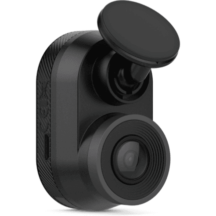
Garmin Dash Cam Mini, Car Key-Sized Dash Cam, 140-Degree Wide-Angle Lens, Captures 1080P HD Footage, Very Compact with Automatic Incident Detection and Recording
₹20,000.00 Original price was: ₹20,000.00.₹16,999.00Current price is: ₹16,999.00.
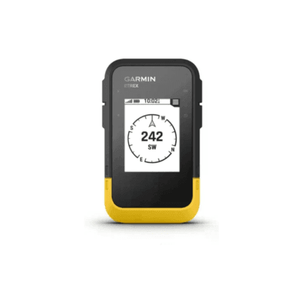
Garmin eTrex SE GPS Handheld Navigator, Extra Battery Life, Wireless Connectivity, Multi-GNSS Support, Sunlight Readable Screen
₹22,000.00 Original price was: ₹22,000.00.₹19,490.00Current price is: ₹19,490.00.
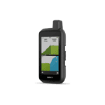
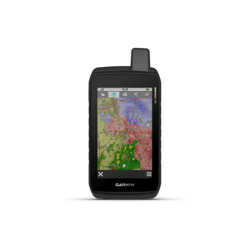
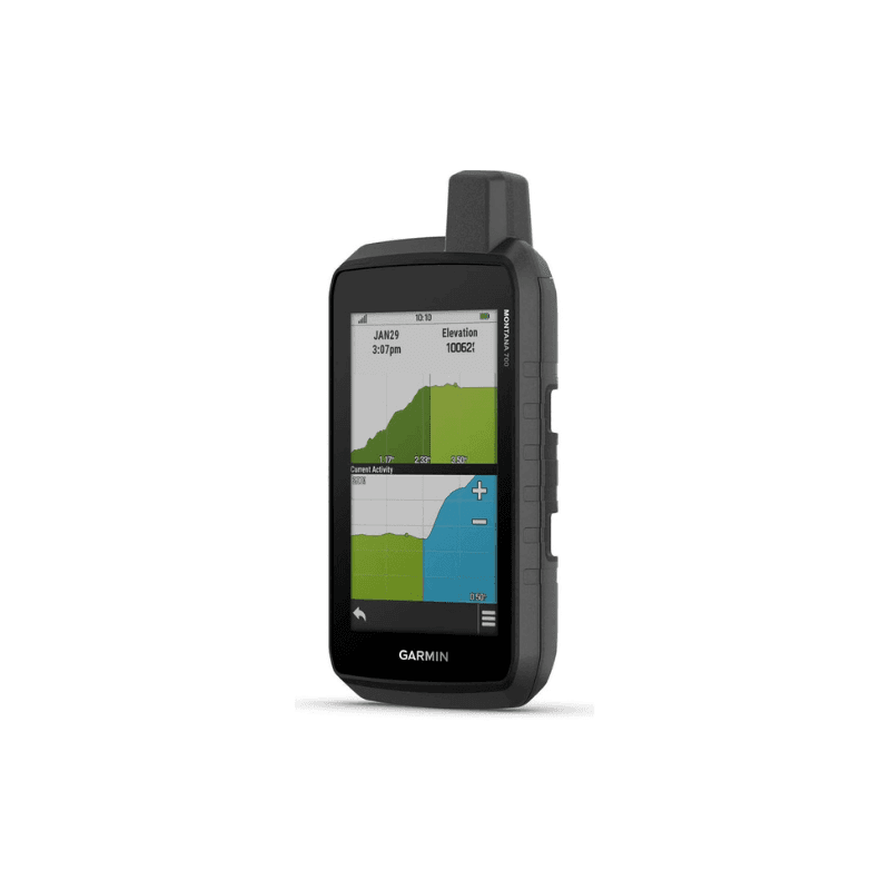
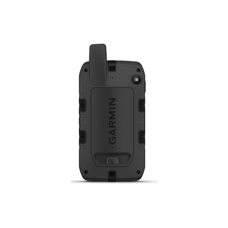
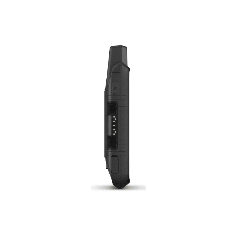
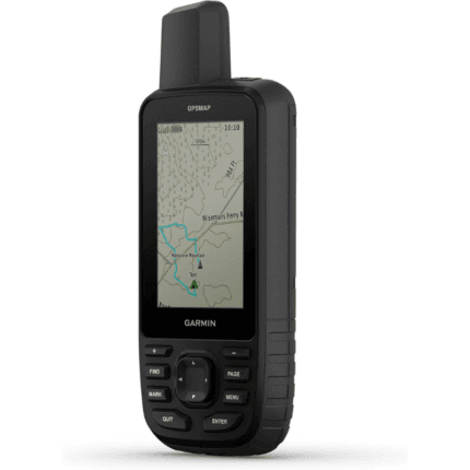
Garmin Montana 700, Rugged GPS Handheld, Routable Mapping for Roads and Trails, Glove-Friendly 5″ Color Touchscreen
₹85,000.00 Original price was: ₹85,000.00.₹76,490.00Current price is: ₹76,490.00.
EMI starts at ₹2,651.55 - View Plans
Get GST Invoice and Save Upto 18%
6
Items sold in last 20 minutes

Please contact us directly if you have any doubt while ordering on
120-314-7871 or email us on
support@utmaliyasales.in. Timing is
10:30 AM to 6:30 PM.
21
People watching this product now!
SKU:
US-Montana 700
Category: GPS
Tags: Garmin, Garmin Montana 700, Glove-Friendly 5" Color Touchscreen, GPS Tracker
Description


Reviews (0)
Rated 0 out of 5
0 reviews
Rated 5 out of 5
0
Rated 4 out of 5
0
Rated 3 out of 5
0
Rated 2 out of 5
0
Rated 1 out of 5
0
Be the first to review “Garmin Montana 700, Rugged GPS Handheld, Routable Mapping for Roads and Trails, Glove-Friendly 5″ Color Touchscreen” Cancel reply
Specifications
| General | |
| Lens Material | chemically strengthened glass |
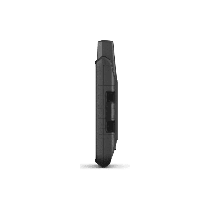
| Dimension | 3.4" x 7.2" x 1.3" (8.76 x 18.30 x 3.27 cm) |
| Weight | 14.0 oz (397 g) with included lithium-ion battery pack |
| Water rating | IPX7 |
| MIL-STD-810 | yes (thermal, shock, water, vibe) |
| Touchscreen | |
| Display Type | WVGA transflective, dual orientation |
| Display Size | 2.55"W x 4.25"H (6.48 x 10.80 cm); 5" diag (12.70 cm) |
| Display Resolution | 480 x 800 pixels |
| Battery type | rechargeable lithium-ion (included) or 3 AA batteries (not included); lithium recommended |
| Battery life | GPS Mode: up to 18 hours Expedition Mode: up to 330 hours |
| Memory/History | 16 GB (user space varies based on included mapping) |
| Interface | high speed micro USB and NMEA 0183 compatible |
| Maps & Memory | |
| Preloaded maps | yes (TopoActive, by region; Federal Public Lands maps, U.S. only) |
| Ability to add maps | ✅ |
| Basemap | ✅ |
| Automatic routing (turn by turn routing on roads) for outdoor activities | Yes (with optional mapping for detailed roads) |
| Map segments | 15000 |
| Satellite Imagery | yes (direct to device) |
| Includes detailed hydrographic features (coastlines, lake/river shorelines, wetlands and perennial and seasonal streams) | ✅ |
| Includes searchable points of interests (parks, campgrounds, scenic lookouts and picnic sites) | ✅ |
| Displays national, state and local parks, forests, and wilderness areas | ✅ |
| External memory storage | yes (32 GB max microSD™ card) |
| Waypoints/favorites/locations | 10000 |
| Tracks | 250 |
| Navigation Track Log | 20000 points, 250 saved gpx tracks, 300 saved fit activities |
| Navigation Routes | 250, 250 points per route; 50 points auto routing |
| Rinex logging | ✅ |
| Sensors | |
| GPS | ✅ |
| GLONASS | ✅ |
| Galileo | ✅ |
| Barometric altimeter | ✅ |
| Compass | Yes (tilt-compensated 3-axis) |
| High-sensitivity receiver | ✅ |
| GPS compass (while moving) | ✅ |
| Daily Smart Features | |
| Connect IQ™ (downloadable watch faces, data fields, widgets and apps) | ✅ |
| Smart notifications on handheld | ✅ |
| Weather forecasts | ✅ |
| Active Weather | ✅ |
| VIRB® Remote | ✅ |
| Pairs with Garmin Connect™ Mobile | ✅ |
| Safety and Tracking Features | |
| LiveTrack | ✅ |
| Tactical Features | |
| XERO™ Locations | ✅ |
| Outdoor Recreation | |
| Point-to-point navigation | ✅ |
| Area calculation | ✅ |
| Fish forecast | ✅ |
| Sun and moon information | ✅ |
| Geocaching-friendly | yes (Geocache Live) |
| Custom maps compatible | yes (500 custom map tiles) |
| Picture viewer | ✅ |
| inReach remote widget | ✅ |
| LED beacon flashlight | ✅ |
| inReach® Features | |
| inReach remote compatible | ✅ |
| Outdoor Applications | |
| Compatible with Garmin Explore™ app | ✅ |
| Garmin Explore website compatible | ✅ |
| Dog tracking | yes (when paired to compatible dog track system) |
| Connections | |
| Connections Wireless Connectivity | yes (Wi-Fi®, BLUETOOTH®, ANT+®) |


 CAMERA BAGS
 CAMERA BATTERY
 CAMERA LENSES & ADAPTERS
 CAMERA OTHER ACCESSORIES


 DJ MIXER
 GUITAR STRINGS
 HEADPHONES
 KEYBOARD
 MICROPHONE ACCESSORIES
 MUSICAL AMPLIFIER
 MUSICAL SPEAKERS
 OTHER ACCESSORIES







Reviews
Clear filtersThere are no reviews yet.